
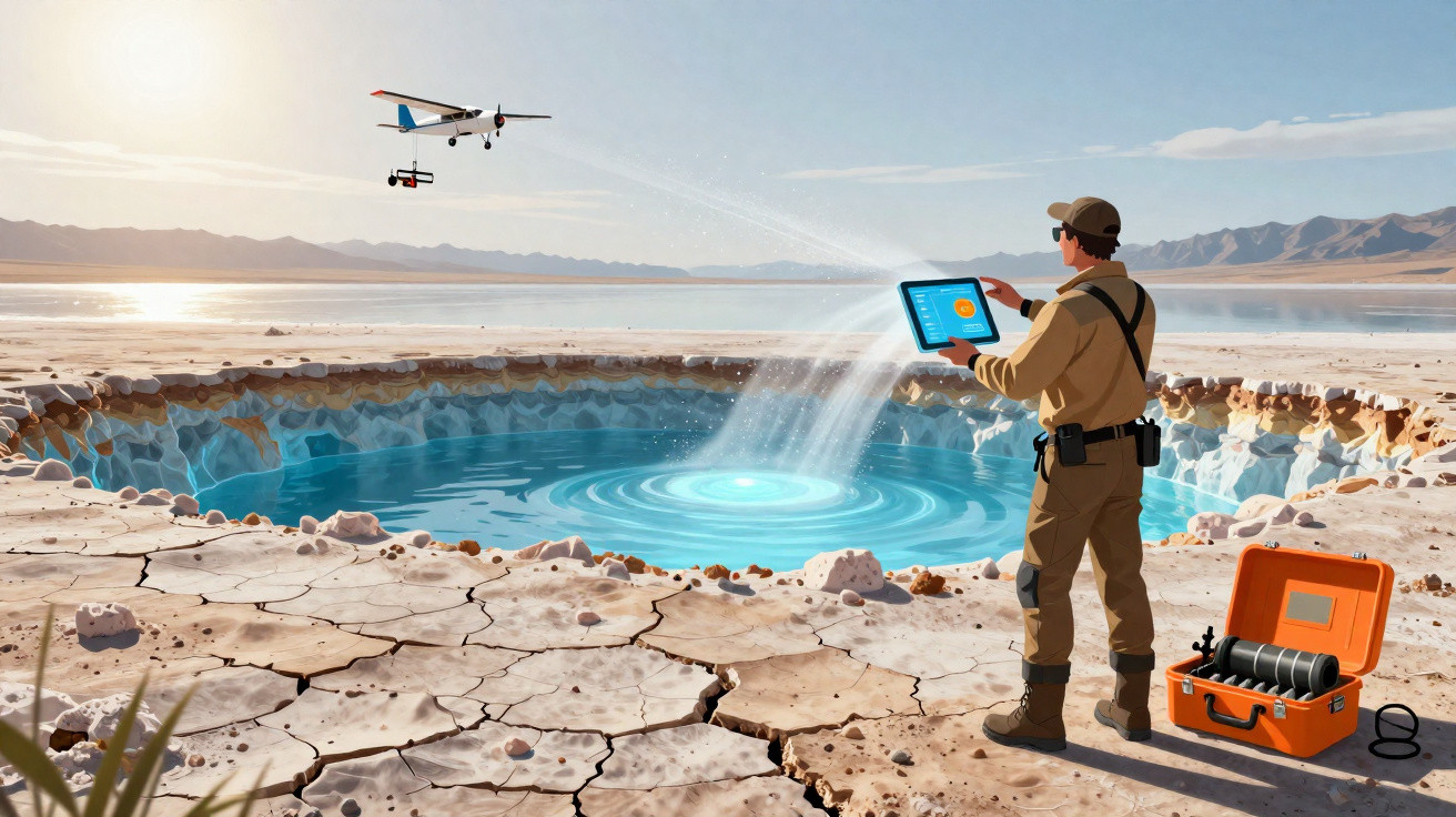
The Great Salt Lake takes its name from the high salinity of its waters, yet new research seems to have identified an enormous store of salt-free freshwater concealed beneath it.
Scientists at the University of Utah used a helicopter to conduct an airborne electromagnetic (AEM) survey over part of the lake. The work covered sections of Farmington Bay, on the water’s south-eastern shoreline.
An AEM survey serves two purposes. It measures electrical conductivity, allowing scientists to distinguish freshwater from saltwater, while also investigating the make-up of the rock. As a result, the readings can indicate both the location of freshwater and its depth.
Freshwater reservoir beneath the Great Salt Lake
Within the area surveyed, the researchers identified an abrupt and major deepening of the bedrock beneath the Great Salt Lake. This has created a vast space capable of holding sand and silt, sediments that seem to be saturated with freshwater.
"We were able to answer the question of how deep this potential reservoir is, and what its spatial extent is beneath the eastern lake margin," says geophysicist Michael Zhdanov.
"If you know how deep, you know how wide, you know the porous space, you can calculate the potential freshwater volume."
The team estimates that the freshwater reservoir may reach between 3 and 4 kilometres deep, or almost 2.5 miles at its deepest. However, a complete survey of the whole Great Salt Lake will be required to confirm this, since the current study scanned only a limited part of it.
Freshwater below the Great Salt Lake had already been suspected, partly because reed-covered islands have begun appearing across the basin. However, this is the first serious attempt by researchers to determine the possible scale of the freshwater reservoir.
Although finding freshwater itself was not unexpected, its potential spread was. The AEM survey suggested that the bedrock ‘bowl’ containing the sediment extends farther towards the middle of the Farmington Bay playa than scientists had anticipated.
Survey findings and possible uses of the freshwater
Freshwater near the margins of the Great Salt Lake would be anticipated, as water flows down from the surrounding mountains. Yet the data indicates that considerably more may be present throughout the lake’s approximate 2,500 square kilometres (950 square miles).
"The unexpected part of this wasn't the salt lens that we see near the surface across the playa," Johnson explained on Utah radio station KPCW's Cool Science Radio show recently.
"It's that the freshwater underneath it extends so far in towards the interior of the lake and possibly under the entire lake. We don't know."
The scientists also believe the water could have practical value. As the Great Salt Lake has continued to evaporate, dust left behind has become an increasing health concern for nearby communities.
This dust regularly blows into Utah’s urban areas, carrying toxic metals with it. Applying freshwater to dampen it could help reduce the problem.
"There are beneficial effects of this groundwater that we need to understand before we go extracting more of it," says hydrologist Bill Johnson.
"A first-order objective is to understand whether we could use this freshwater to wet dust hotspots and douse them in a meaningful way without perturbing the freshwater system too much."
Expanding the Great Salt Lake AEM survey
The researchers are now seeking funding to broaden the AEM survey and examine more of the lake. They are especially keen to map the limits of the sharp decline in bedrock depth.
This would provide a clearer indication of how much freshwater might be stored beneath the lake. It could also support water-resource planning and research into comparable lakes around the world that may likewise conceal reservoirs.
Similar methods could be used elsewhere, as well as across the remaining areas of the Great Salt Lake. Magnetic measurements could estimate rock depth, while electrical conductivity data could help identify freshwater zones.
"This is why we need to survey the entire Great Salt Lake," says Zhdanov. "Then we'll know the top and the bottom."
"We use different techniques to study the vertical extent of these freshwater-saturated sediments, to find the depth to the basement."
The research has been published in Scientific Reports.



Comments
No comments yet. Be the first to comment!
Leave a Comment