
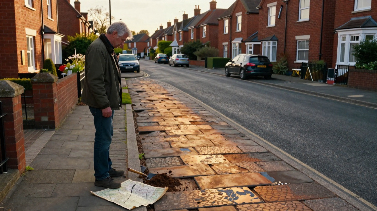
You are driving through an English village, passing a leaning pub and a church spire, when the tarmac suddenly becomes a rigid, straight line, cutting across the fields as though it has a precise destination.
It pays no attention to property lines or newer housing developments. It continues, long and resolute, as more recent lanes twist away beside it like uneasy companions.
That impression - that the road understands something you do not - is precisely what British historians and archaeologists have spent years investigating. Using drones, historic charters and an almost absurd degree of patience, they are revealing how ancient infrastructure continues to influence how people drive, commute and lose their way across England.
The same finding emerges again and again, mile after mile.
Where Roman logic still meets the rush hour
Stand beside the A5 near Towcester and, for a moment, tune out the lorries. Beneath the traffic noise, the landscape has an unusual calm. The carriageway runs arrow-straight from one horizon to the other, apart from diversions imposed by later generations. Historians note that it follows almost exactly the course of Watling Street, the Roman road once used by legionaries, tax collectors and merchants.
The surface is contemporary and its white lines freshly painted. But the decision to place the route here was taken almost 2,000 years ago by engineers wearing sandals. Their priorities were rapid movement, authority and access to forts and ports. Today, that same corridor carries commuters towards warehouses and distribution centres. The reasoning is much the same - only the load has changed.
The pattern is striking when viewed on a map. Ermine Street, reflected today in the A10 and A1, runs northwards from London. The Fosse Way, shadowed by the A46, still links Lincoln, Leicester, Cirencester and Exeter on a diagonal no Whitehall planner independently devised. Local people sometimes say the Romans built roads with a ruler and a grudge, though the explanation is more straightforward.
They were addressing a challenge that remains: moving people and goods swiftly without becoming trapped by mud or politics. For all its bypasses and ring roads, modern England repeatedly returns to those original choices. This is not because the past is revered, but because the routes remain effective. Replacing them wholesale would be enormously expensive and would disrupt hundreds of communities.
Historians describe this as “infrastructural inertia” - once a route exists, homes, markets, services and everyday routines accumulate around it. Altering the road means more than shifting vehicles: it tugs at the fabric of people’s lives. This helps explain why, when motor traffic surged during the twentieth century, so many Roman alignments were improved instead of discarded. Councils broadened routes, adjusted a bend here and softened a gradient there, while the ancient skeleton remained.
From satellite images, the outcome can seem almost unsettling. A vivid modern transport artery occupies exactly the location of an old Roman road, separated by centuries but not by distance. Beneath your tyres, time appears to have built up in layers.
How to spot the ghosts beneath the asphalt
There is a subtle excitement in discovering that your route to the supermarket once led to a Roman fort. Historians and amateur map enthusiasts have turned that interest into a straightforward exercise anyone can attempt. Begin by putting the satnav aside briefly and opening an online map that shows both roads and terrain. Zoom out far enough to view the route’s overall form rather than just its junctions.
Roads influenced by Roman routes often act like determined guests. They maintain a direct line over hills, cross patchwork fields diagonally or create exceptionally long, uninterrupted stretches between settlements. Follow the A37 through Somerset or the A30 in the south-west on a map, and those steadfast sections become clear, disregarding the gentle curves created by hedgerows. Historians suggest that when you notice this, you are likely following an old decision about where and why people should travel.
The next approach is to combine different periods. Historic Ordnance Survey maps - including digitised Victorian editions - reveal route alignments from before motorways, bypasses and suburban crescents obscured the view. Place them over aerial photographs and patterns of continuity emerge: a lane matching a Roman alignment in one place, or a parish boundary following an ancient track in another. It is surprisingly absorbing on a rainy Sunday.
Small features on the ground can also expose ancient origins. Look for a road positioned on a slight raised bank above neighbouring fields. Notice recurring villas, historic coaching inns or stones resembling milestones, partly concealed by nettles. Place names offer clues as well. “Street”, “Stratford” and “Stretton” can all indicate former paved roads, often Roman ones. For centuries, people have interpreted these signs, even when they did not fully understand their source.
Most drivers do not have time to interpret every clue during the school run. Let us be honest: nobody really does this every day. Even so, historians emphasise that occasional observations are enough. Pay attention to the unusually straight stretch you use on the way to work. Register the Roman villa on a brown tourist sign that you usually pass without noticing. Gradually, the narrative begins to assemble, commute by commute.
What often surprises people is how frequently medieval and later roads followed these older paths. The reason was not respect, but practicality. Reusing a raised, drained and familiar route was easier than forcing a new one through clay and political complications. A legionary road could therefore become a drovers’ route, then a coaching turnpike, and finally a modern A-road equipped with speed cameras and service stations. The bones stayed the same, while the outer layer changed.
What this changes in how we view traffic, planning and home
Urban historians argue that daily congestion looks different once roads are understood as inherited objects. That irritating pinch point at a junction beyond town may exist because the first route was never intended to handle large traffic volumes. It may have begun as a drovers’ lane widened over time, or as a Roman access road leading to a gate that has since disappeared.
Civil engineers may alter roundabouts and introduce additional lanes, but they frequently work within land ownership patterns shaped by strips and boundaries centuries old. Shifting a major route by only a few metres can trigger decades of legal and social dispute. The result is compromise: a bypass that partially curves around a historic high street, or a dual carriageway that contracts at a medieval bridge unwilling to yield.
This view also challenges the idea that infrastructure is “neutral”. Roads are not merely grey lines serving everyone equally. They are decisions taken at distinct moments in history, establishing particular movements while restricting others. Watling Street connected forts and ports valuable to the Roman Empire. When Georgian turnpike trusts improved such routes, they benefited commercial towns capable of paying tolls. Today, a logistics hub prospers because it happens to occupy that same influential corridor.
For certain communities, such enduring continuity is beneficial: it brings accessible transport, investment and strong links. For others, it means living within a corridor of noise and exhaust fumes because someone 2,000 years ago favoured straight lines. The past does not merely survive in museums; at 3am, it vibrates through bedroom windows as haulage traffic.
How historians trace these hidden layers - and how you can take part
Ask researchers at Historic England or in university archaeology departments how they uncover this concealed network, and their first answer is unexpectedly low-tech. They begin with documents: Saxon charters, medieval estate plans and early road surveys. Many depict “streets” and “ways” that do not precisely correspond with present-day lanes, resembling shadows slightly displaced from modern routes.
Digital investigation follows. Airborne lidar surveys remove trees and buildings from view, exposing faint ridges and ditches below. A barely visible linear embankment across fields may align perfectly with a modern B-road 800 metres away. Bring together enough of these indications and an ancient route takes shape. What had been written off as a “farm track” may begin to appear suspiciously like part of a major Roman artery.
The process is now accessible enough for citizen historians to play a significant role. Local history societies and independent enthusiasts examine free lidar data at home and publish their discoveries online. In a forum discussion, someone might notice that a Northamptonshire bridleway aligns with the A5, then continues towards an unusual raised strip in a copse. A professional archaeologist can join the discussion, consult excavation records, and a credible Roman connection is suddenly possible.
This collaborative approach has made road history feel less dusty and more almost playful. One historian told me,
“We used to think of roads as something planners impose from above. Now we see them as conversations across centuries, and everyone’s invited in.”
That “everyone” increasingly includes drivers who simply enjoy knowing that their commute has a history. A few basic actions can provide an entry point:
- Search for the Roman road network near your postcode and compare it with the routes you normally use.
- Once a month, use lidar or satellite layers to follow one suspiciously straight road beyond the area you usually travel.
- Take part in a local history walk centred on old tracks and turnpike roads.
- Look out for place names containing “street”, “ford”, “gate” or “causey” while driving.
- Send photographs of unusual embankments or straight hedgerows to local heritage groups.
At a personal level, this patient observation has a subtle effect. A route you have always condemned as “that dreadful A-road” may suddenly reveal itself as a movement corridor stretching back to the Iron Age. The traffic does not become forgivable, but you begin to see yourself as one image in an exceptionally long sequence of travellers.
The quiet shock of finding your driveway on an empire’s footprint
After spotting these patterns, it becomes difficult to ignore them. An ordinary afternoon journey to visit friends in another county feels slightly altered when you realise that you are following a route once used by cattle travelling to market or by soldiers in hobnailed boots. On a misty morning, the road’s straight line acquires an uncanny sharpness: long ago, someone imposed this order on a far wilder landscape.
The discovery can feel unexpectedly personal. Many people learn that their housing estate borders an old turnpike route, or that the ring road thundering beyond their window follows the edge of a Roman marching route. The priorities embedded in the landscape - which places were connected and which were bypassed - start to seem less like anonymous modern planning and more like the product of decisions layered across millennia.
It prompts questions about what future historians will make of today’s choices. Will they examine the M1 or M25 with the same blend of appreciation and irritation that we direct towards the Romans? Might distribution centres become their “forts”, and service stations their coaching inns? It is a mildly uncomfortable idea, particularly when another journey is delayed and brake lights glitter in the rain.
England is widely understood to be “old”, in the postcard sense of castles and cathedrals. This newer body of research demonstrates, steadily and quietly, that its age extends directly beneath our wheels. School runs, late-night taxis and delivery vans crossing counties all travel along choices made by people who never imagined traffic signals or satnavs, but cared intensely about speed, access and control.
On a map, this appears to be geometry. In reality, it is more complicated: habits, histories and power relations that survived empires. The next time your navigation app calmly instructs you to “continue straight for 27 miles”, pause briefly and consider the surveyors who first imposed that straightness on marshland and scrub.
That awareness will not repair the potholes. It can, however, make the journey seem less arbitrary. Beneath the sound of tyres lies another, older noise: footsteps, hooves, iron wheels and choices that refuse to disappear.
| Key point | Detail | Why it matters to the reader |
|---|---|---|
| Persistence of Roman routes | Major A-roads, including the A5 and A46, closely follow Roman alignments such as Watling Street and the Fosse Way. | It helps readers understand ordinary journeys as part of a far longer historical narrative. |
| Simple ways to identify ancient lines | Map straightness, lidar images, historic Ordnance Survey maps and place names can reveal hidden infrastructure. | It provides practical ways to turn a drive or walk into a small historical investigation. |
| Effects on modern life and planning | Historic routes influence congestion points, development patterns and whether towns prosper or are bypassed. | It makes present-day transport frustrations seem less arbitrary and easier to understand. |
FAQ:
- Are all straight roads in England Roman? Not at all. Some direct routes date from the medieval period, Georgian turnpikes or even Victorian estate roads, although many reused or copied earlier Roman alignments.
- How can I tell whether my local road follows a Roman route? Compare its alignment with published Roman-road maps, look for long straight sections and consult historic Ordnance Survey maps for names such as “Street” or “Roman Road”.
- Do historians ever excavate modern roads to prove these connections? Excavations generally take place during road schemes or development projects. When trenches cut across suspected routes, archaeologists sometimes uncover Roman metalling or roadside ditches beneath the tarmac.
- Why did modern planners not simply create entirely new road networks? Cost, land ownership and habit all played a part. Existing routes already had legal rights of way, services and settlements around them, so reusing them was much more practical than beginning anew.
- Can I participate in research into ancient roads? Yes. Many local archaeology and history groups welcome volunteers, while free online lidar and mapping tools allow you to investigate alignments and share discoveries with professionals.





Comments
No comments yet. Be the first to comment!
Leave a Comment