
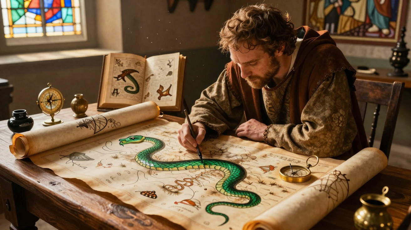
Medieval cartographers depicted dragons, sea serpents and hybrid creatures because their maps combined geography, religion, ancient accounts and imagination. These figures populated oceans and far-off lands, signalled hazards, portrayed poorly understood animals and turned cartography into a visual narrative of the world.
Why did medieval cartographers place monsters on maps?
Medieval maps were not created solely to guide journeys. Many brought together continents, biblical events, foreign peoples and fantastical beings within a single interpretation of the universe, without fully separating geographical knowledge from history and religious belief.
Dragons and monsters were particularly likely to appear in places for which little information was available. Their inclusion did not merely mean that a cartographer had made them up: many such illustrations drew on works regarded as trustworthy at the time.
Where did these fantastical creatures come from?
Many of these images came from classical writings, travel accounts and bestiaries: books describing real and imaginary animals alongside moral explanations. Key sources included:
- the writings of Pliny the Elder on peoples and animals from distant regions;
- stories told by sailors and travellers returning from other lands;
- biblical accounts of sea creatures and unfamiliar places;
- descriptions of whales, walruses and other animals rarely seen in Europe;
- legends of mermaids, giant serpents, unicorns and dragons.
Did the illustrations identify unknown and dangerous places?
In certain instances, monsters denoted difficult seas, little-explored territories or areas linked with shipwrecks. A creature attacking a vessel could convey the dangers of seafaring, including storms, marine animals and uncertainty surrounding distant routes.
Not every illustration was intended as a warning, however. Monsters appeared more often on lavish, decorative maps than on nautical charts used each day by sailors, showing that the images also suited the tastes of wealthy purchasers and collectors.
What artistic and religious role did these figures serve?
Maps functioned as sources of knowledge as well as visual works. By portraying dragons and monsters, cartographers displayed artistic skill, filled broad empty spaces and represented nature as part of a vast, mysterious divine creation.
- to embellish oceans and regions lacking detailed geographical information;
- to depict the unknown through easily recognisable imagery;
- to communicate religious and moral lessons found in bestiaries;
- to enhance maps commissioned by nobles, merchants and rulers;
- to record real animals altered by imprecise descriptions.
How did monsters vanish from cartography?
As ocean voyages progressed, newly reached coastlines were measured and unfamiliar animals began to be documented more accurately. The growth of navigation and scientific observation left less room for dragons and monsters on maps, even though many creatures had been inspired by real species.
Medieval cartography reveals an age in which mapping involved arranging both known places and the stories told about them. Monsters were not simply meaningless ornaments, but records of fears, beliefs, ancient knowledge and efforts to explain territories that Europeans could not yet observe directly.



Comments
No comments yet. Be the first to comment!
Leave a Comment